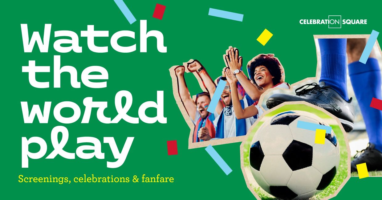
• HOME
  • ABOUT WARD 8
  • COVID-19
  • SEASONAL
  • WARD 8 PROJECTS
  • COMMUNITY INFO
  • CITY LINKS
  • REGION OF PEEL
  • Calendars & Events
  • GALLERY
  • GALLERY - 2
  • CONTACT US
  • More
    • HOME
    • ABOUT WARD 8
    • COVID-19
    • SEASONAL
    • WARD 8 PROJECTS
    • COMMUNITY INFO
    • CITY LINKS
    • REGION OF PEEL
    • Calendars & Events
    • GALLERY
    • GALLERY - 2
    • CONTACT US
  • HOME
  • ABOUT WARD 8
  • COVID-19
  • SEASONAL
  • WARD 8 PROJECTS
  • COMMUNITY INFO
  • CITY LINKS
  • REGION OF PEEL
  • Calendars & Events
  • GALLERY
  • GALLERY - 2
  • CONTACT US

matt mahoney councillor ward 8

matt mahoney councillor ward 8matt mahoney councillor ward 8matt mahoney councillor ward 8
SUBSCRIBE TO MY E-NEWSLETTER

covid-19 UPDATES

LATEST NEWS RELEASES

ONTARIO SUMMER GAMES

SOUTH COMMON COMMUNITY CENTRE & LIBRARY REDEVELOPMENT

 The City is redeveloping the South Common Community Centre and Library in 2024 to meet the needs of the community. 

Find out more

PHOTOGRAPHING CITY ASSETS

As part of the City’s Asset Management Program currently underway and required as per Ontario Regulation 588/17, we are photographing all City assets along our right-of-ways (roads), the Transitway and in all above ground, City-owned parking lots. We are capturing assets such as light poles, benches, catch basins, transit stops, traffic light devices and more in a quick and efficient manner. While the City does have an existing asset inventory, the images captured through this work will significantly enhanced it.


Work will begin on Monday, June 20 and will take approximately 12 months to complete, depending upon weather. Vehicles equipped with a laser scanner and camera will be used to conduct the work. They will be driving the city and taking pictures every few seconds; very similar to how other companies capture street level images. There are no sound or IP capturing devices involved. 


The technology being used is Light Detection Ranging or LiDAR. The vehicles driving through the city will emit a pulsed light wave. The pulses will bounce off objects and return to the sensor. Depending on the time it takes each pulse to return, the sensor is then able to calculate the distance it travelled. 


Repeating this millions of times per second allows for the creation of a precise 3-D survey of the area and asset. LiDAR laser technology has been used safely for a number of years in a wide variety of applications. Manufacturers of lasers must follow and adhere to strict guidelines to ensure sensors pass all required eye safety standards.

Copyright © 2017  Ward 8 - All Rights Reserved

Powered by GoDaddy Website Builder